I found the solution to my predicament about how I could photograph in northern South Australia. I could do a camel trek with experienced cameliers. The camels would carry the swag, food and water, we would do the walking and the cameleers would guide us through the remote, semi-arid landscape. So we booked a 12 day walk as part of a party of six starting on June 19th and finishing on July 2nd. The trek started from near Arkaroola and it finished at Mt Hopeless, reputed to be the northern edge of the Flinders Ranges. The group included 3 friends from Suzanne’s Heysen Trail walking group.
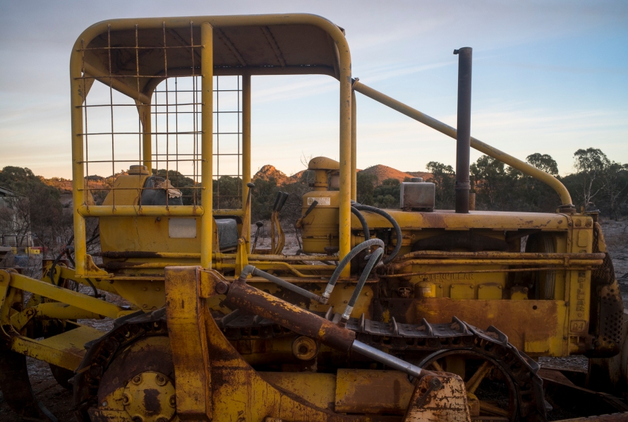
We left the stormy winter weather at Encounter Bay on the southern coast of the Fleurieu Peninsula, and drove up to Alpana Station near Blinman. We arriving in the late afternoon and stayed overnight in the shearers quarters. This gave me an hour or so for a bit of photography wandering around the station before dinner in the North Blinman Hotel. I had no time to explore Blinman itself, to check out the Blinman mine, or scope the fascinating landscape around Blinman.

I had a digital camera–the Sony a7R111– and two film cameras–a Leica M4-P and a Rolleiflex TLR. I decided against taking a carbon fibre tripod to use with the Rolleiflex, as the Sony has good low light capabilities and can be handheld in low light. This was to be a trial run to see if my body could handle the walking for 12 days, and whether or not I could do any photography. I considered using large format (ie., taking the 5×4 Linhof Technika IV) to be over the top. I understood that as everything centred around the 12 camels–the pace, the camp site, where to walk, and the loading and unloading of the camels each day— this might allow some time for photography.
The following morning was frosty, the water pipes were frozen, and so there was no hot water to have the last shower before setting off on the trek. I had around 30 minutes or so for photography in the early morning light before we driving to the home of the camel trek near Blinman. We had to be there by 8am.
We left our cars there and climbed into the 2 Alpana 4 wheel drives to be transported to meet the camels. We drive through Parachilna Gorge, turned right at the Prairie Hotel, then north along the the B83 to Copley, a quick coffee at the Quandong Cafe before turning east to Mt Serle, then through the Operation Flinders region at Yankaninna Station, then we went north. That party of the 1st leg had completed the trek from Blinman to Arkaroola in 15 days walking, and they had made their camp west of Arkaroola –at Bend Well on Umberatana Station. They were then driven back to Blinman by Dave and Sally Henery, the owners of Alpana Station, late that afternoon whilst we camped the night at Bend Well. We would then walk north for 12 days into the interior of the continent–the site of the early explorer’s mythical inland sea.
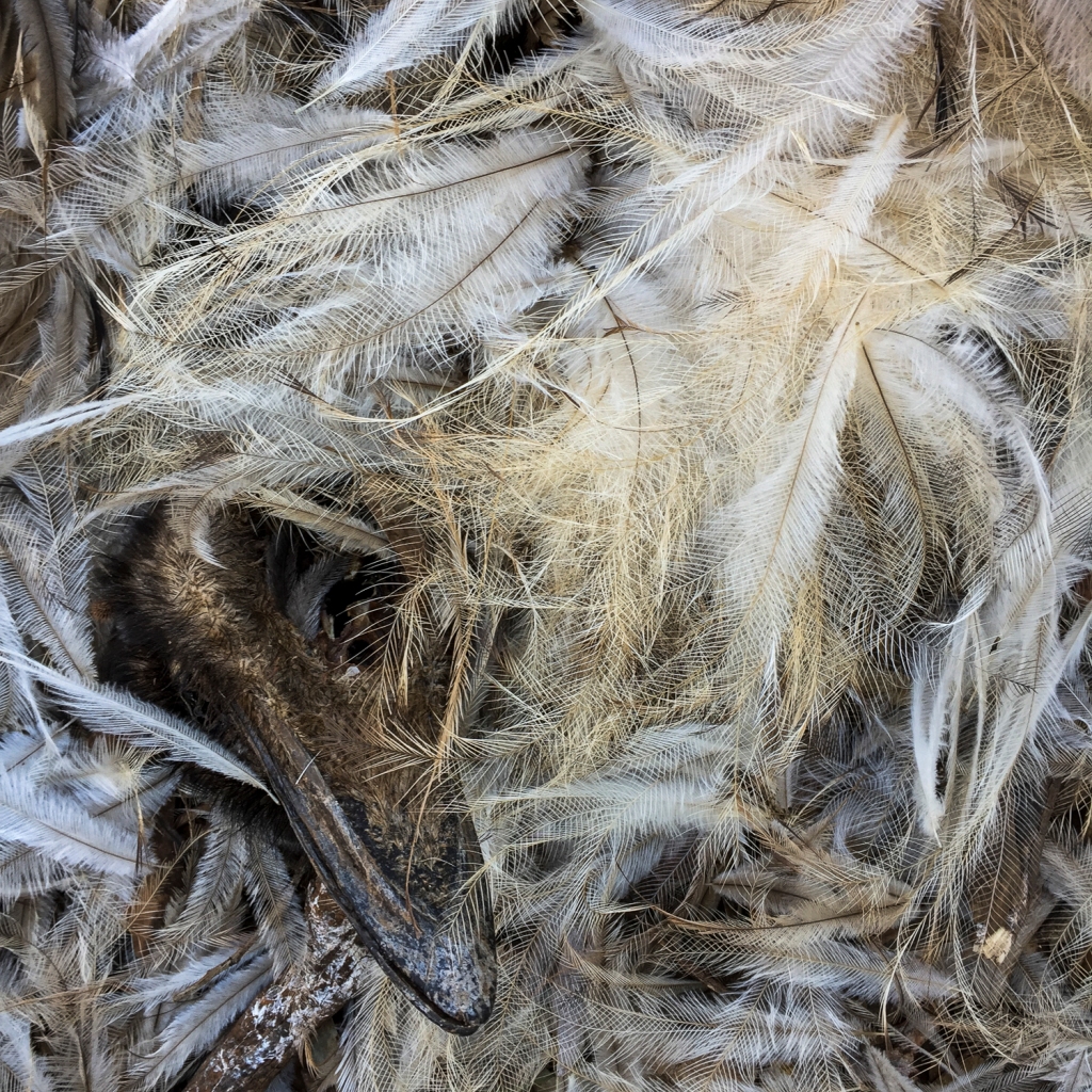
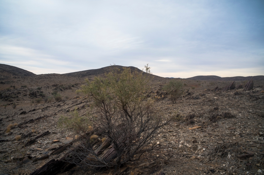
We were just west of the northern point of the Gammon Ranges National Park. We had a couple of hours before dark to wander around the overgrazed, minimal rainfall landscape consisting of low hills, clumps of rocks, stoney ground, tufts of dry grass, erosion from the over grazing by the pastoralists since European settlement, lots of dead kangaroo bodies, plenty of evidence of European rabbits and feral goats, and scatterings of the prickly wattle (acacia victoriae). The latter is conventionally seen as unpalatable, yet it is prime camel food. There was plenty of it here, hence the night camp at Bend Well.
The northern Flinders is the country of the traditional Adnyamathanha owners, who had been dispossessed from their land by Europeans from 1851, regaining native title in 2009 over about 41,000 square kilometres (16,000 sq mi) running east from the edge of Lake Torrens, through the northern Flinders Ranges.
I had never been in this country of the Northern Flinders before. I found the landscape to be old, very dry and degraded from a history of unsustainable grazing, and so very different from the panoramic National Geographic representations of the sunlight jagged Flinders Ranges, which have become as central to the tourist industry as their postcards of giant river red gums in red rocky gorges. This landscape indicated that the pastoralists were not the best environmentalists or conservationists. I struggled to find little signs of allowing the country’s vegetation to recover, or of the regeneration of native vegetation.
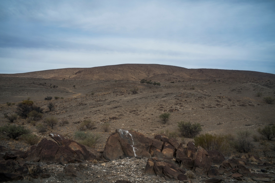
The long term climate forecast is for the northern Flinders to become hotter, which will make the broad-scale ecological restoration (Bounceback?) even more difficult. Looking at this landscape I honestly doubted that the broad-scale ecological restoration of the pastoral stations is feasible. It was landscape dreaming.

Leave a comment